
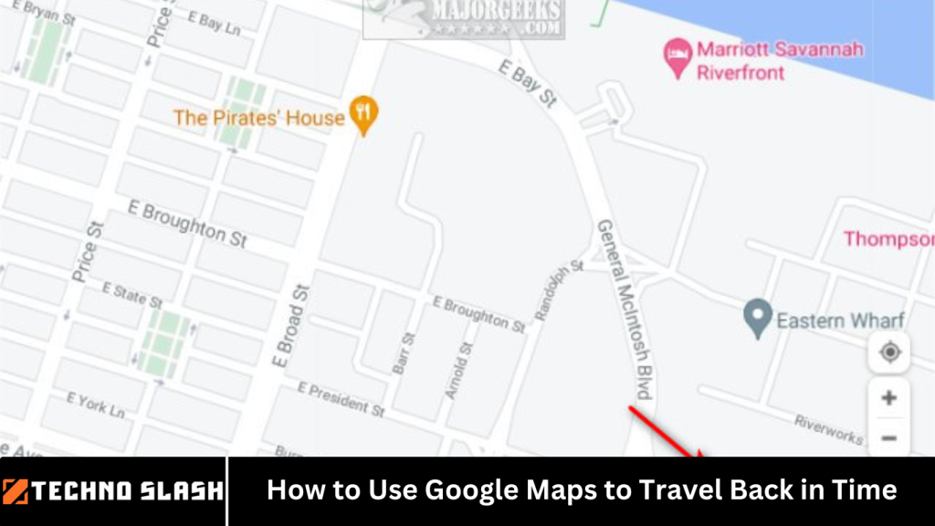
Google Maps has revolutionized the way we navigate the world. From helping us find the fastest route to our destinations to exploring street-level views of places from across the globe, Google Maps continues to amaze users with its innovative features.
One such feature, often overlooked, is the ability to “travel back in time” using Google Maps’ historical imagery and Street View functionality. Whether you’re a history buff, an urban explorer, or simply curious about how a location has changed over the years, Google Maps offers an intriguing way to look into the past.
We will guide you step-by-step on how to use Google Maps to travel back in time and explore how specific locations looked in the past. We will cover how to access historical images through both mobile devices and desktops, and how to take full advantage of Google Maps’ timeline feature. Let’s dive in!
More Read: How to Set Up Your iPhone or Android Phone as a Mobile Hotspot
What is Google Maps’ “Time Travel” Feature?
Before diving into how to use the time travel feature, it’s important to understand what it is. Google Maps offers a hidden gem known as historical imagery. This feature allows users to access archived images of a location captured by Google’s Street View cars at different points in time.
Google first started collecting images through its Street View cars in 2007. Since then, these images have been stored and archived, giving users the ability to see how streets, neighborhoods, and even entire cities have transformed over the years. Using Google Maps, you can see how buildings were constructed, how parks have evolved, or how your favorite street looked when it was first mapped.
Why Use Google Maps’ Historical Imagery?
There are plenty of reasons to use this time-travel feature:
- Curiosity: Ever wonder how a street or neighborhood looked 5 or 10 years ago? Historical imagery allows you to indulge your curiosity.
- Urban Exploration: Discover how cities have developed over the years and compare old photos with the current view.
- Nostalgia: Relive memories of places you used to visit by seeing them as they once were.
- Historical Research: Perfect for historians, researchers, or anyone interested in urban development and changes to architecture over time.
How to Use Google Maps to Travel Back in Time on Desktop
Accessing historical imagery on Google Maps is simple and can be done from a desktop computer. Follow these steps to travel back in time:
Step 1: Open Google Maps
First, go to Google Maps in your browser.
Step 2: Find a Location
Search for the location you want to explore in the search bar. You can type in an address, landmark, or city name.
Step 3: Activate Street View
Drag the little yellow pegman icon (located in the bottom right corner) to any location on the map. This will activate Street View, and you’ll be able to see the street-level view of that area.
Step 4: Enter the Historical View
Once you’re in Street View mode, look for a clock icon in the upper left corner of the screen. This icon represents the time slider feature. Click on it to activate the historical imagery.
Step 5: Use the Time Slider
When the time slider appears, you’ll be able to see the different dates when Google captured images of that location. Simply slide the bar to choose a specific year and watch how the area has changed. In some locations, you may be able to go back as far as 2007!
Step 6: Explore Multiple Years
Some locations have multiple time periods documented, so you can explore various snapshots of a location across different years. Use the time slider to navigate between these years and view the changes over time.
Step 7: Zoom In for Detail
To get a closer look at the images from the past, you can zoom in on the map or use the arrow keys to navigate through different parts of the location. This will help you notice smaller details and more subtle changes over time.
How to Use Google Maps to Travel Back in Time on Mobile Devices
While the historical imagery feature is much more easily accessible on desktop computers, you can also use it on your mobile device. Here’s how to use Google Maps’ time travel feature on mobile:
Step 1: Open Google Maps App
First, launch the Google Maps app on your mobile device.
Step 2: Search for a Location
Search for the location you want to explore using the search bar at the top of the screen.
Step 3: Enter Street View Mode
Once you’ve located the area you want to explore, tap the location on the map and choose the option that says “Street View.” This will show the street-level view of the location.
Step 4: Access the Historical View
Currently, the historical imagery feature is more limited on mobile devices, and not all locations will have access to it. However, if a historical view is available, tap the clock icon located in the top left corner of the screen. This will open up the time slider.
Step 5: Slide Through Time
Just like on desktop, you can use the time slider to navigate through different years and view how the location has evolved over time. This feature isn’t available on every mobile device, and its functionality can vary depending on the version of the app you’re using.
Tips for Using Google Maps Historical Imagery
To make the most out of your time-travel experience on Google Maps, here are a few tips:
- Explore Iconic Landmarks: Try using historical imagery at famous landmarks or well-known streets. For example, you could explore Times Square in New York, the Eiffel Tower in Paris, or the Great Wall of China.
- Compare Before and After: If you’re researching changes in architecture or urban development, use the time slider to compare older and newer images side-by-side. This can be particularly interesting for studying how cities have grown over time.
- Look for Major Events: In some areas, Google Maps has captured major events such as construction projects, urban redevelopment, or even the aftermath of natural disasters. Searching for those locations can provide a glimpse of history.
- Make it a Family Activity: Share this feature with your family or friends. It’s fun to compare the past with the present, and it can spark nostalgic memories or interesting conversations.
Limitations of Google Maps Historical Imagery
While the time-travel feature in Google Maps is an exciting tool, there are some limitations:
- Availability: Not all locations have historical imagery available. Google has collected images of major cities, but smaller towns or rural areas may not have as many archived photos.
- Limited Timeframes: The earliest available images are typically from around 2007, which means older historical moments may not be captured.
- Device Compatibility: Access to historical imagery is best viewed on desktop computers, and the mobile app has limited functionality.
Frequently Asked Question
Can I access historical imagery on Google Maps for any location?
Not all locations have historical imagery available. While many major cities and well-known landmarks are covered, smaller towns and rural areas may not have images from past years. The feature is most commonly found in areas with dense street-level data.
How far back can I go using Google Maps’ historical imagery?
Google Maps’ historical imagery typically dates back to 2007, when the first images were collected by Google’s Street View cars. In some locations, you may be able to access imagery from earlier years, but the availability and range can vary by location.
Is historical imagery available on mobile devices?
Yes, but the feature is more limited on mobile. You can access the historical view on the Google Maps app by entering Street View mode and tapping the clock icon if it’s available for that location. However, the time slider functionality is more fully featured on desktop.
How do I activate the time travel feature on Google Maps?
To use the time travel feature, enter Street View mode on Google Maps by dragging the yellow pegman icon to a location. Then, click the clock icon in the top left corner to open the time slider. From there, you can navigate through different years of historical imagery.
Can I compare the images from different years side by side?
Google Maps doesn’t currently support a side-by-side comparison of historical images. However, you can slide the time slider to view different years, which allows you to compare the changes over time as you move through various snapshots.
Why is there no historical imagery for some locations?
There are several reasons why a location might not have historical imagery. It could be due to a lack of coverage by Google’s Street View cars or because the area hasn’t been photographed frequently. Historical imagery is only available where Google has collected street-level data over time.
Can I use Google Maps to view significant events or changes in a location over time?
Yes, historical imagery can provide insights into significant events such as construction projects, urban redevelopment, or even changes after natural disasters. Searching for a famous landmark or city known for major events can help you explore how it has transformed over time.
Conclusion
Google Maps offers a fascinating way to travel back in time through its historical imagery feature. Whether you’re curious about the transformation of a city, interested in historical research, or simply want to relive nostalgic moments, exploring the past through Google Maps provides a unique opportunity to witness how places evolve. By following the easy steps outlined in this guide, you can begin your journey through time right now. From detailed street views to major historical events captured in Google’s vast archive, there’s no limit to the adventures you can embark on using the time travel feature of Google Maps. Happy exploring!